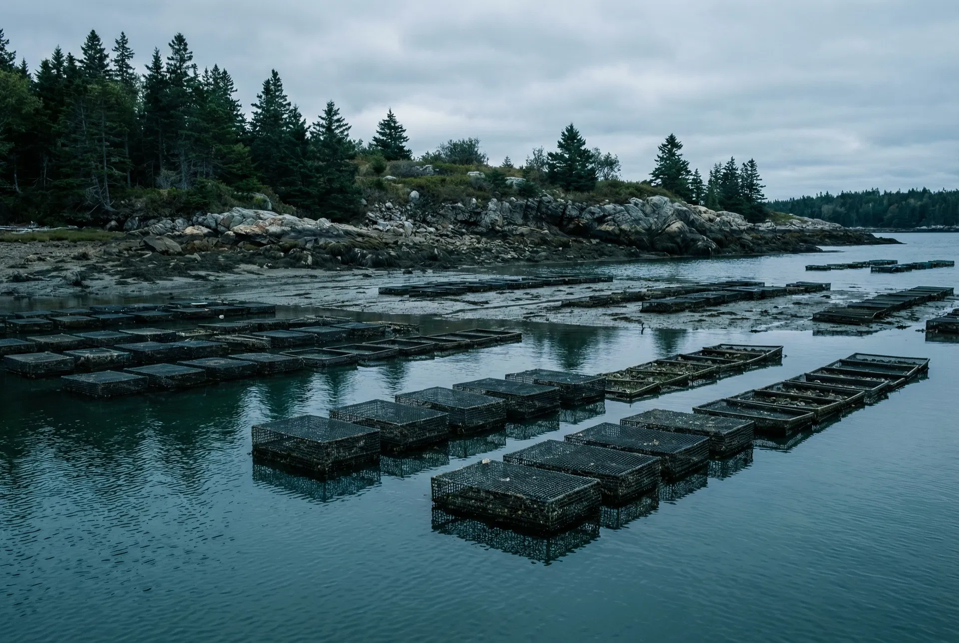
Maine oyster farm, Downeast coast
Project Context
About This Tool
This platform applies the NOAA-TDC Dual-Flow ESG Asset Attribution Framework to oyster aquaculture leases across two US regions: Virginia (Chesapeake Bay, 4,635 active leases) and Maine (Gulf of Maine, 158 active polygon leases). It provides a unified lease explorer, shared methodology documentation, and per-lease ESV breakdowns aligned with TNFD LEAP, GRI 304, and SEEA EA standards.
Scope and Data
Virginia: 4,635 active private oyster leases from the Virginia Marine Resources Commission (MRC), covering Chesapeake Bay and its tributaries. ESV calculations use CBP DataHub segment-level TN data for nitrogen removal adjustment.
Maine: 158 active polygon leases from the Maine DMR ArcGIS REST API. LPA point licenses (1,412 oyster LPAs, max 400 sq ft) are excluded due to sub-pixel geometry constraints.
ESV calculations use Tier 1 (Latent Potential) formulas with region-specific activity factors, TN adjustments, and habitat multipliers.
University of Maine Satellite Integration
Kiffney et al. (2026) used Landsat 8/9 and Sentinel-2 imagery to build a Dynamic Energy Budget (DEB) growth model for eastern oyster across Maine coastal waters. This tool integrates two outputs from that study:
- Growing season length:Estimated from SST climatology (days above 10°C feeding threshold). Available for all leases statewide.
- Time to market:Estimated from the full DEB model (SST + food proxy). Available only for leases within the validated area (Casco Bay to Penobscot Bay entrance, approx. 43.6–44.5°N).
Limitations
- All ESV calculations are Tier 1 (area-based) and should be treated as indicative estimates, not verified financial values.
- REDQS scores are assigned regionally (3 for validated satellite area, 2 for outside), not at the individual lease level.
- No verified harvest data (Tier 2) is incorporated. Tier 2 upgrades require Oceanfarmr or equivalent farm records.
- Water classification data is incomplete in the DMR dataset; a conservative default activity factor is applied where absent.
- The satellite food proxy (Chl-a) is validated for Casco Bay and Midcoast only; Downeast leases receive SST-only treatment.
Data Sources
ArcGIS REST API, accessed March 2026
Satellite-based DEB growth modelling. Aquaculture 612.
Dual-Flow ESG Asset Attribution Protocol
NOAA-TDC ESG Asset Attribution Platform · Virginia & Maine · March 2026